Log in
All resources
Create a design
75 Free Images of Atlantis Magni Tomus Primus (biblioteca Comunale Di Trento)
maps made in the 17th century
moses pitt
pieter schenk (i)
maps made in the 18th century
18th-century engravings
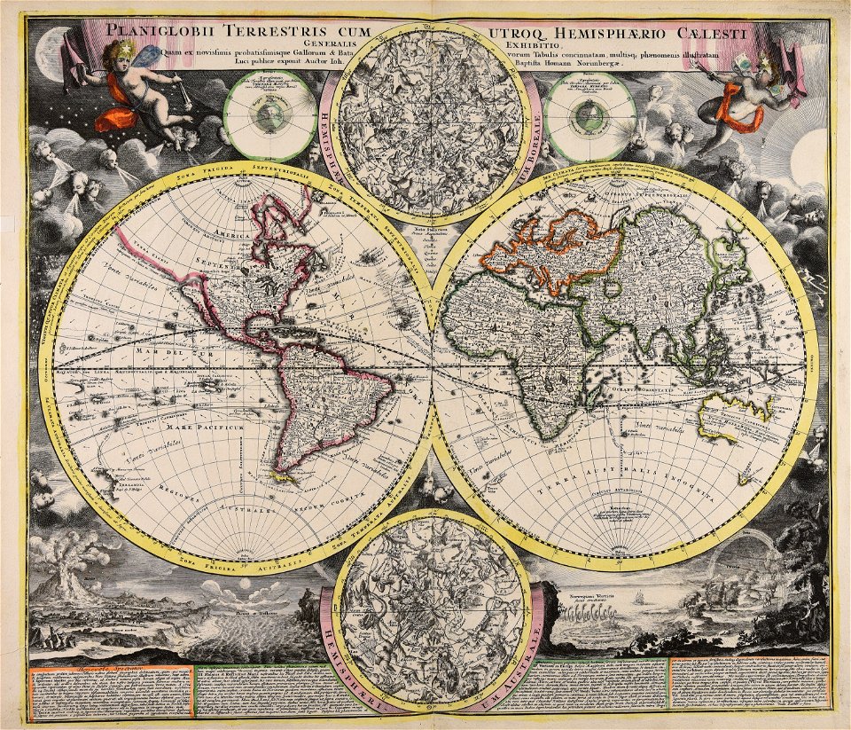
johann baptist homann
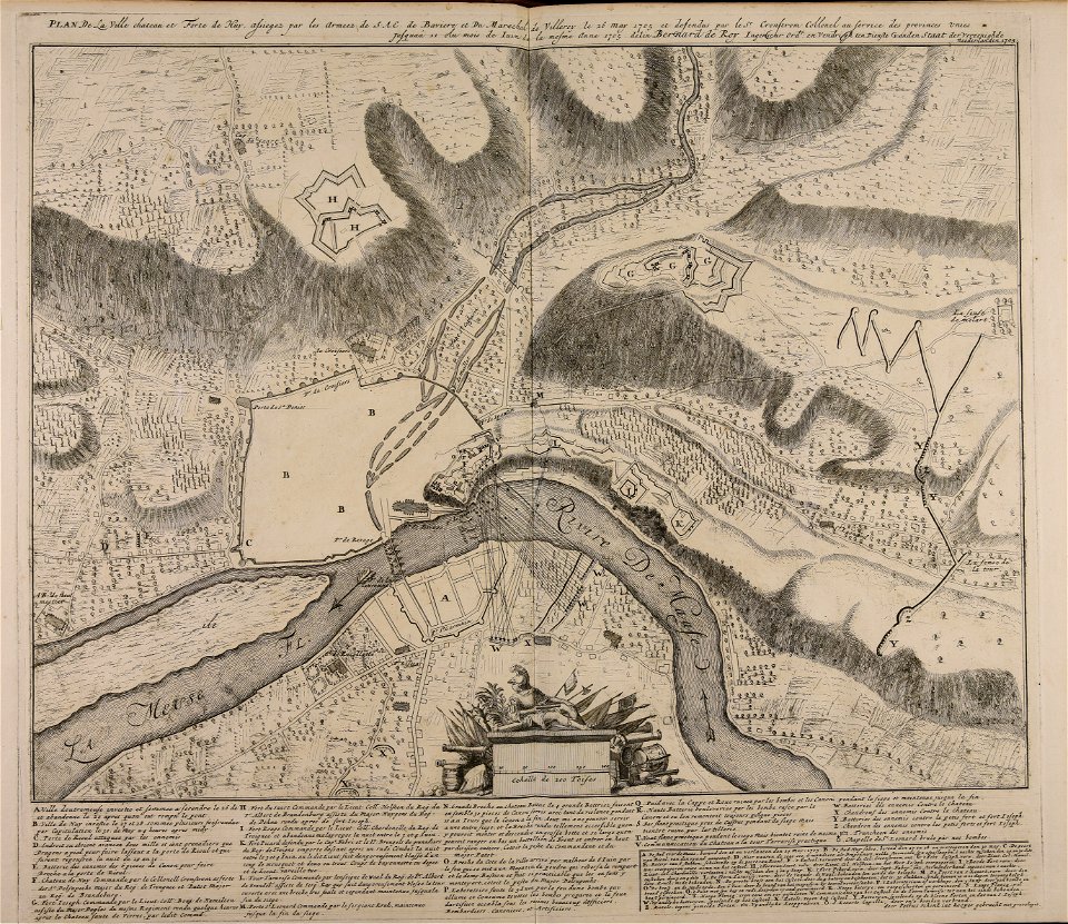
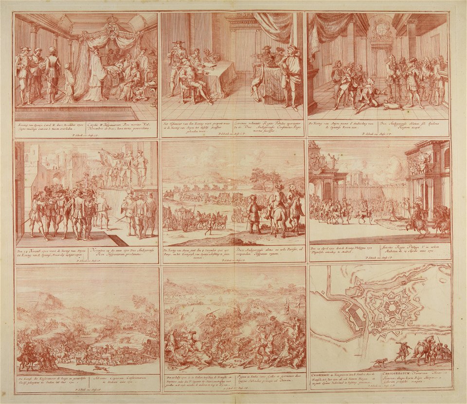
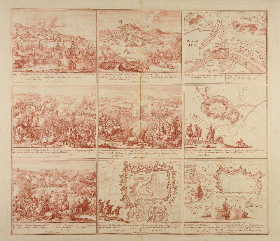
war of the spanish succession
old maps of europe
cities in europe
maps by pieter schenk (i)
atlantis magni tomus primus (biblioteca comunale di trento)
atlantis magni tomus primus (biblioteca comunale di trento)
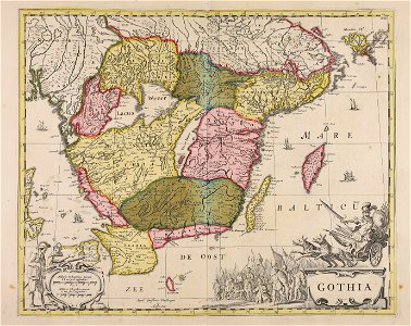
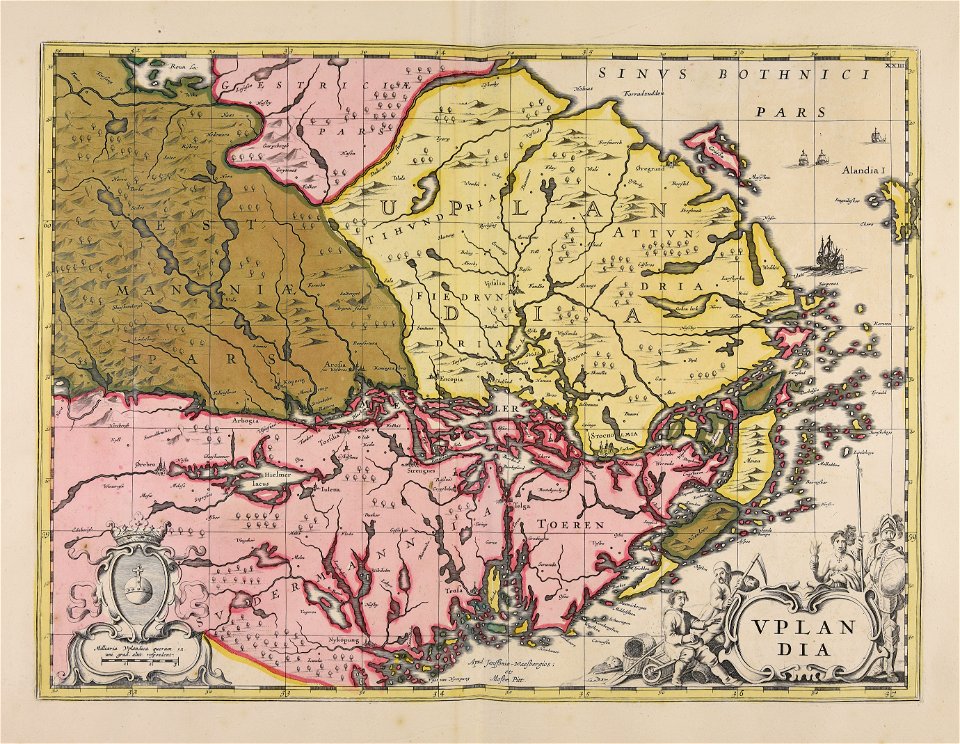
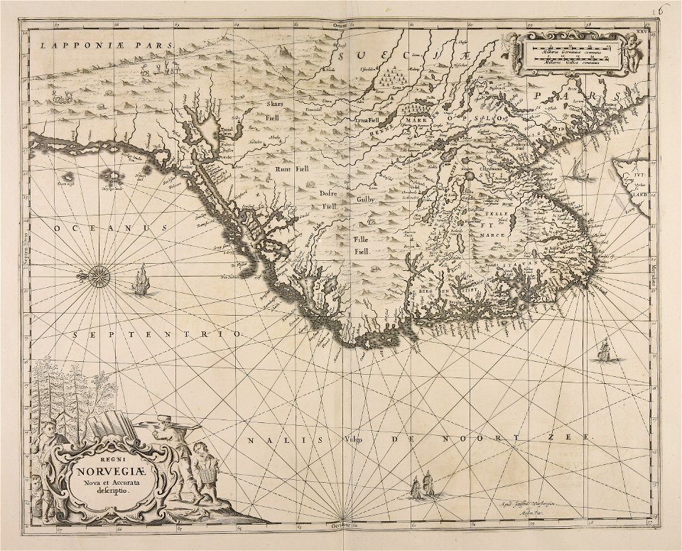
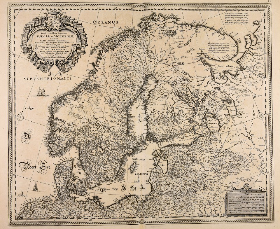
17th-century maps of sweden
atlantis magni tomus primus (biblioteca comunale di trento)
17th-century maps of sweden
atlantis magni tomus primus (biblioteca comunale di trento)
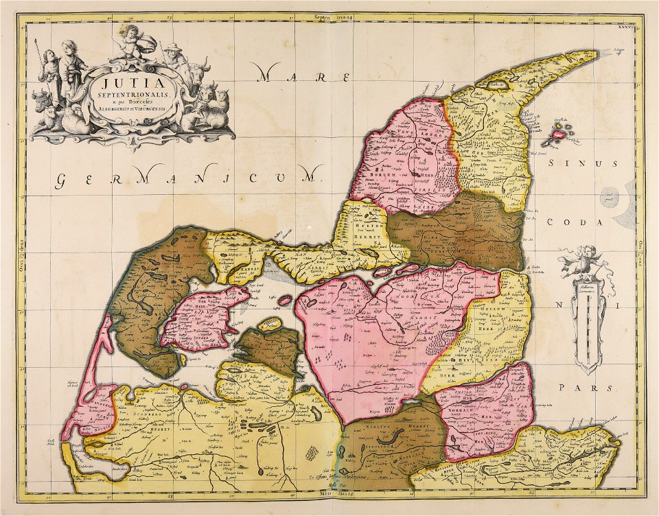
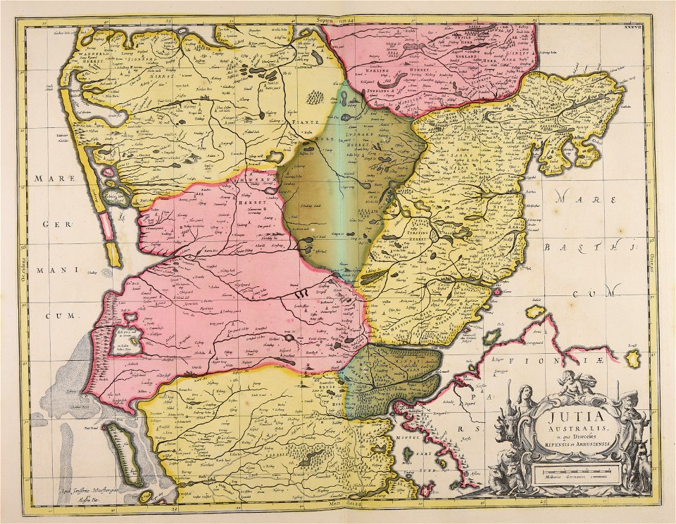
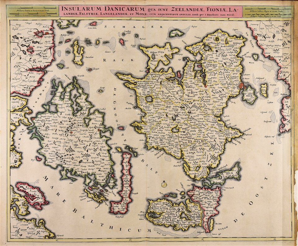
17th-century maps of denmark
atlantis magni tomus primus (biblioteca comunale di trento)
johann baptist homann
atlantis magni tomus primus (biblioteca comunale di trento)
maps made in the 17th century
atlantis magni tomus primus (biblioteca comunale di trento)
maps made in the 17th century
atlantis magni tomus primus (biblioteca comunale di trento)
maps made in the 17th century
atlantis magni tomus primus (biblioteca comunale di trento)
maps made in the 17th century
maps made in the 17th century
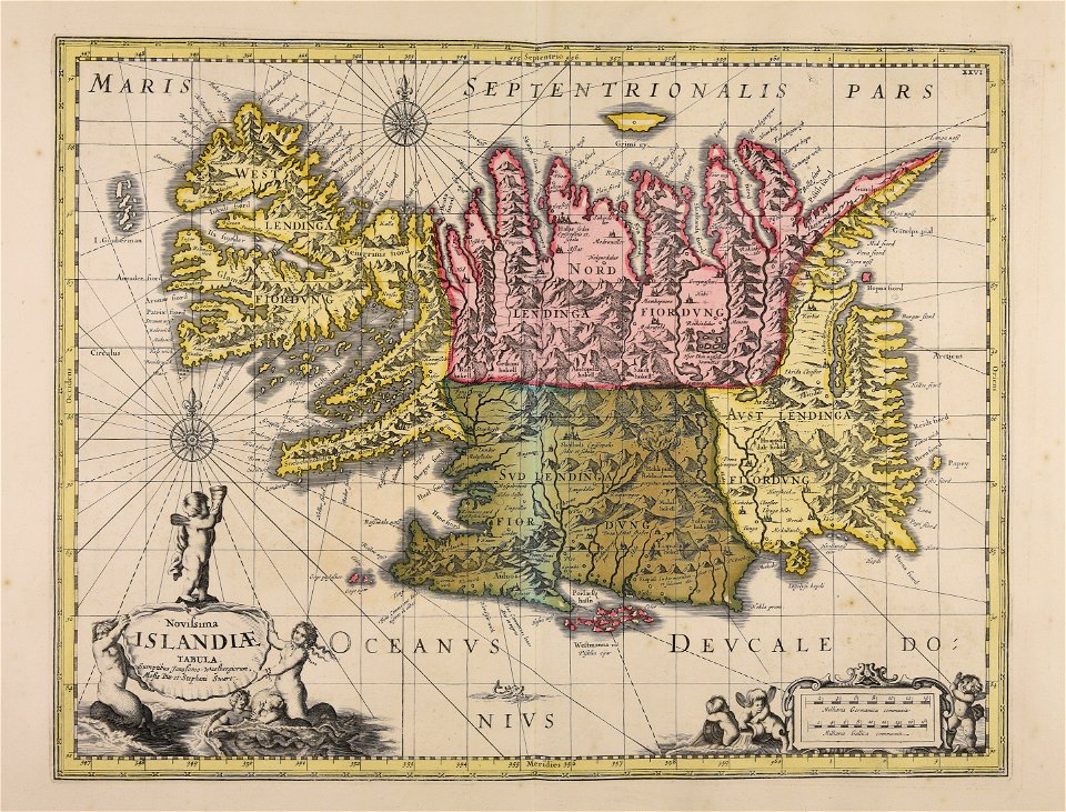
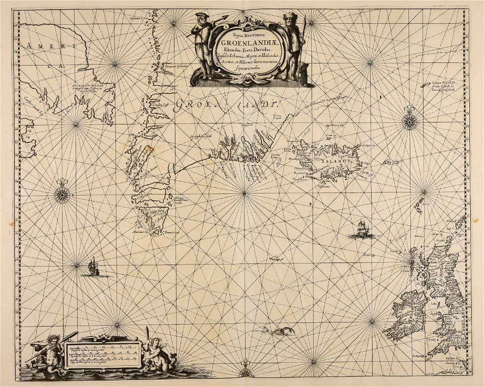
old maps of iceland
maps made in the 17th century
old maps of skåne
atlantis magni tomus primus (biblioteca comunale di trento)
maps made in the 17th century
maps made in the 17th century
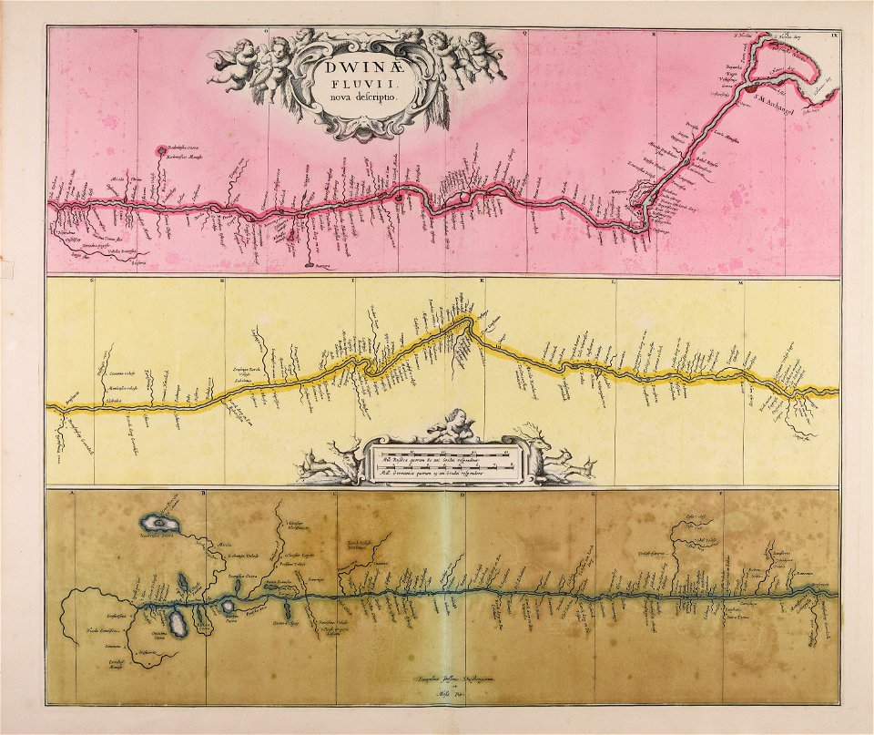
severnaya dvina river
atlantis magni tomus primus (biblioteca comunale di trento)
maps made in the 17th century
atlantis magni tomus primus (biblioteca comunale di trento)
maps made in the 17th century
atlantis magni tomus primus (biblioteca comunale di trento)
johann baptist homann
atlantis magni tomus primus (biblioteca comunale di trento)
17th-century maps of denmark
maps made in the 17th century
maps by pieter schenk (i)
maps made in the 17th century
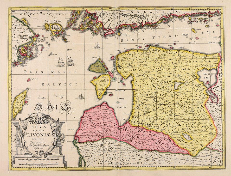
livonia
atlantis magni tomus primus (biblioteca comunale di trento)
maps made in the 17th century
atlantis magni tomus primus (biblioteca comunale di trento)
maps made in the 17th century
maps made in the 17th century
finlandia
maps made in the 17th century
danimarca
atlantis magni tomus primus (biblioteca comunale di trento)
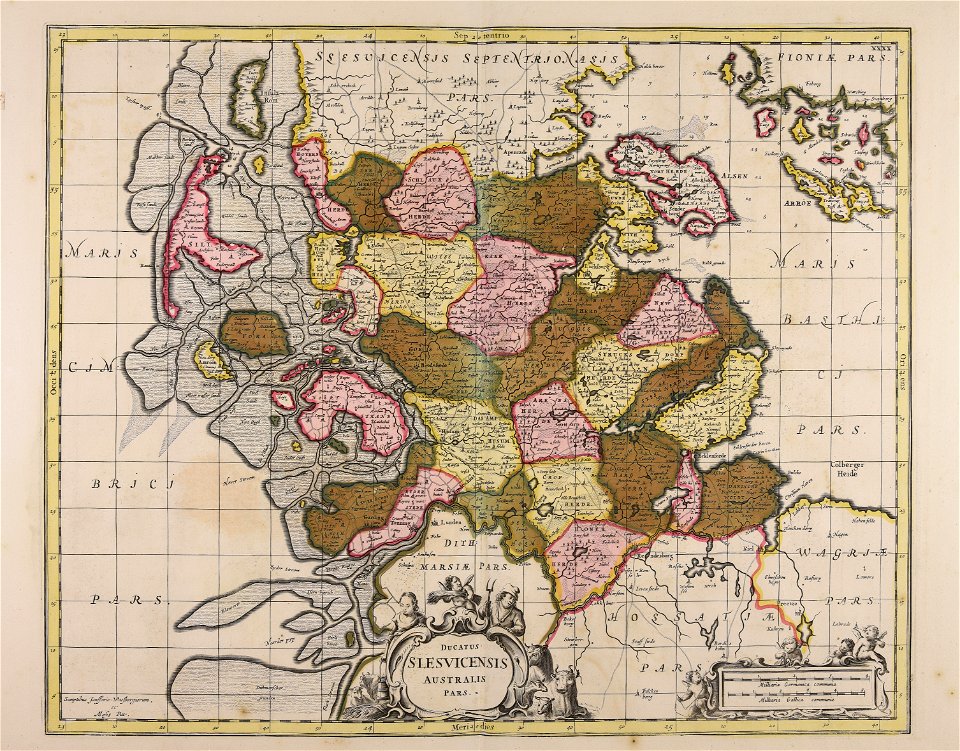
17th-century maps of schleswig-holstein
maps made in the 17th century
funen
maps made in the 17th century
stormarn
maps made in the 17th century
danimarca
atlantis magni tomus primus (biblioteca comunale di trento)
17th-century maps of sweden
18th-century engravings
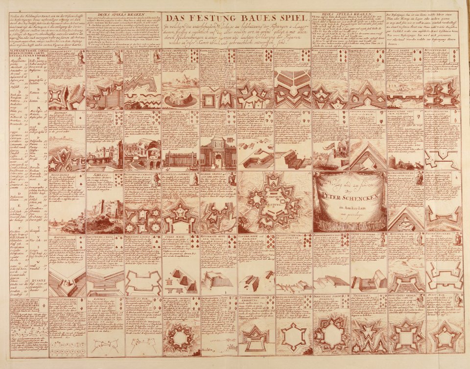
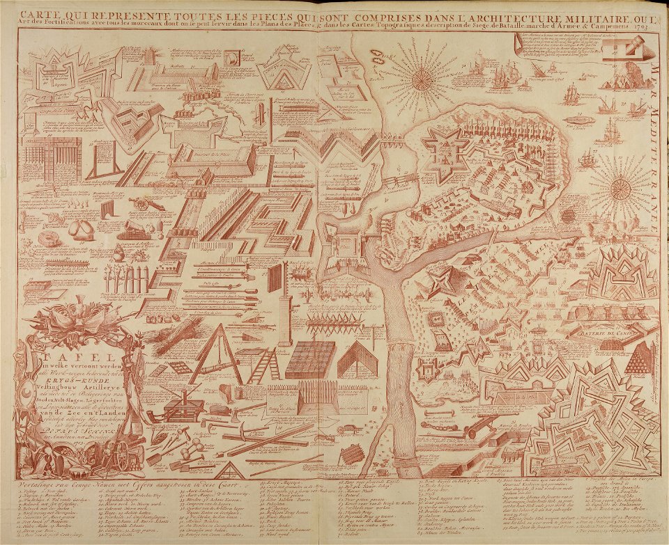
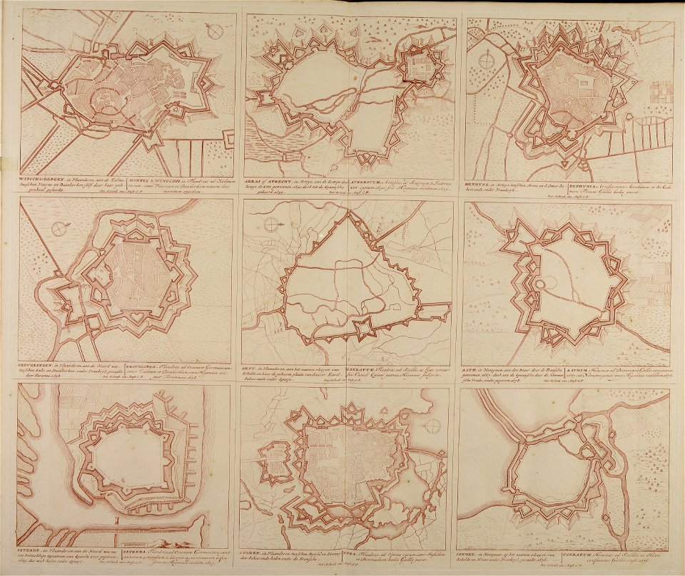
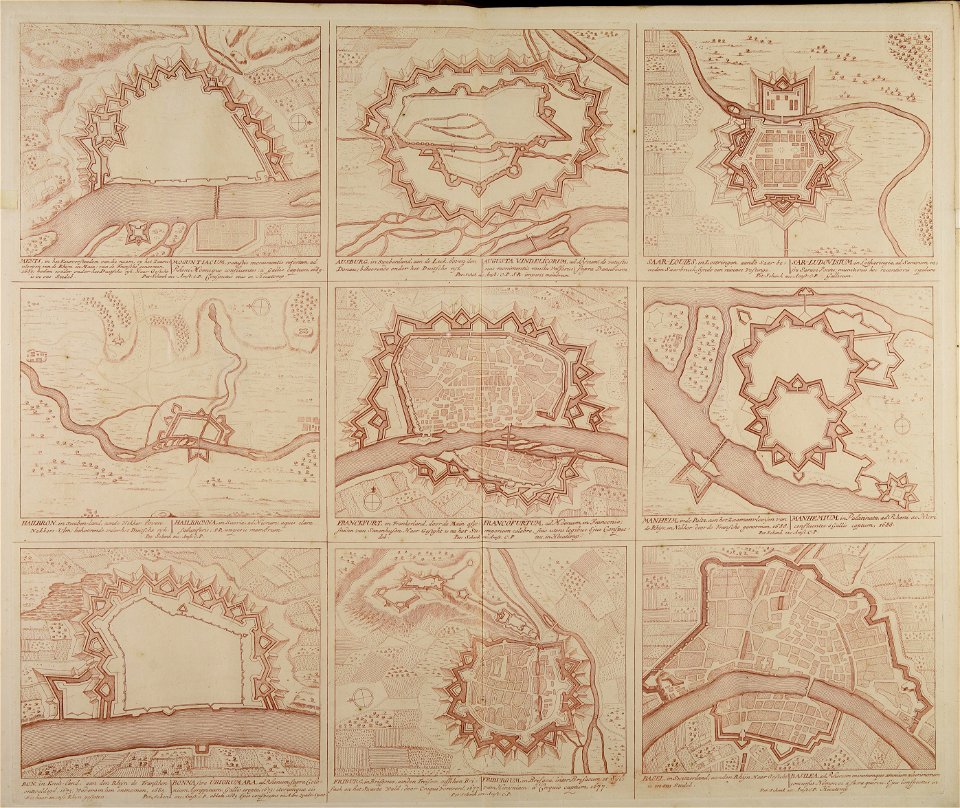
fortifications in italy
atlantis magni tomus primus (biblioteca comunale di trento)
johann baptist homann
atlantis magni tomus primus (biblioteca comunale di trento)
johann baptist homann
atlantis magni tomus primus (biblioteca comunale di trento)
maps made in the 18th century
atlantis magni tomus primus (biblioteca comunale di trento)
maps made in the 17th century
atlantis magni tomus primus (biblioteca comunale di trento)
maps made in the 17th century
maps made in the 17th century
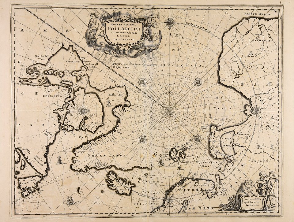
old maps of scandinavia
atlantis magni tomus primus (biblioteca comunale di trento)
17th-century maps of schleswig-holstein
maps made in the 17th century
1700 maps of lithuania
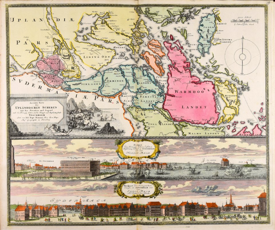
historical views of stockholm
18th-century engravings
maps made in the 17th century
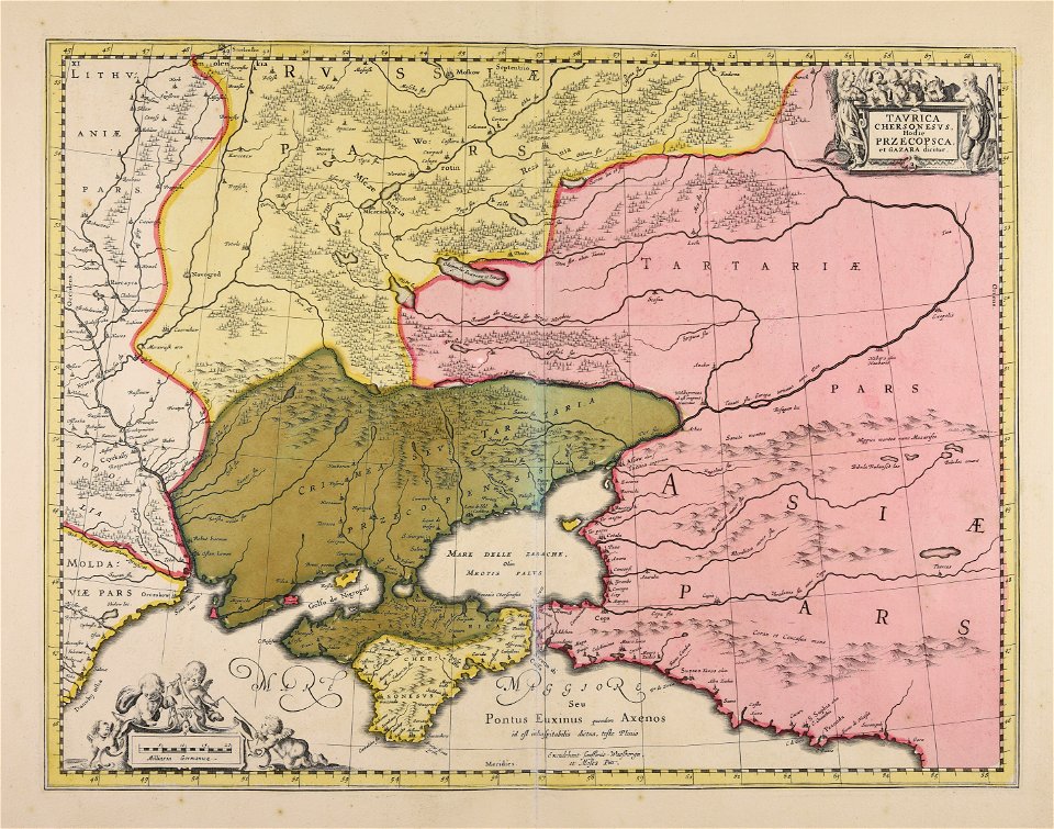
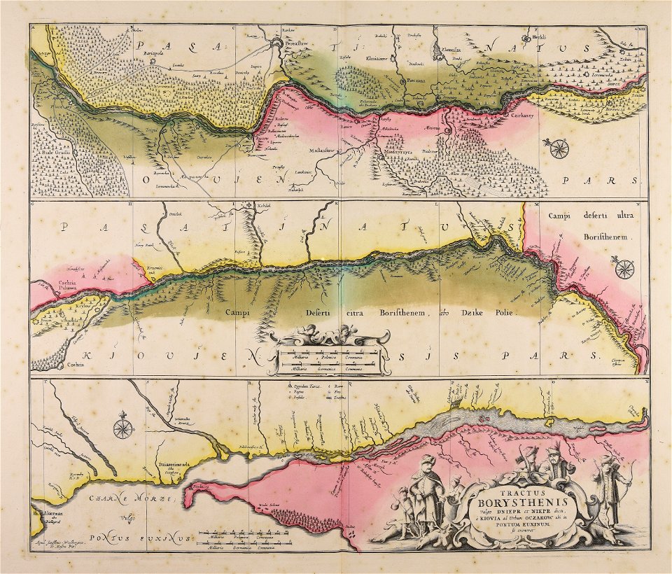
dnieper river
atlantis magni tomus primus (biblioteca comunale di trento)
maps made in the 17th century
maps made in the 17th century
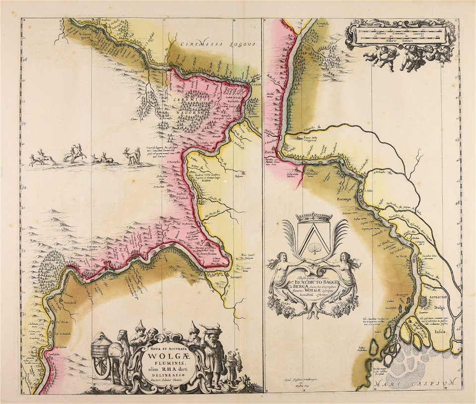
adam olearius
maps made in the 17th century
jan janssonius
atlantis magni tomus primus (biblioteca comunale di trento)
maps made in the 17th century
johann baptist homann
earth
18th-century engravings
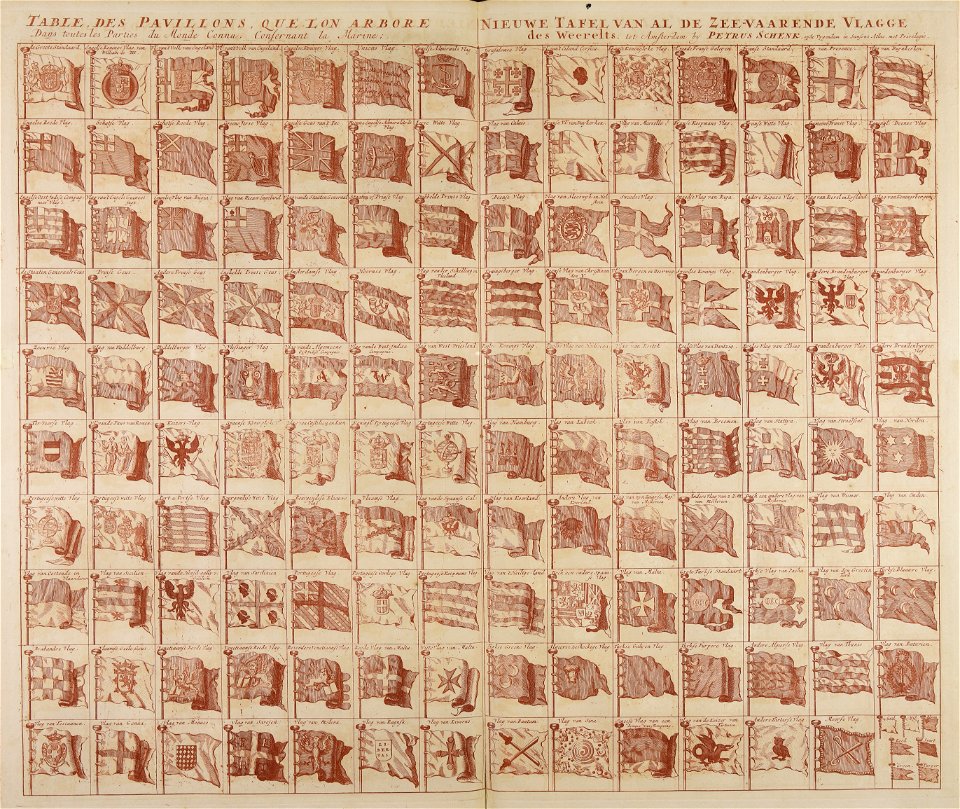
flag charts
atlantis magni tomus primus (biblioteca comunale di trento)
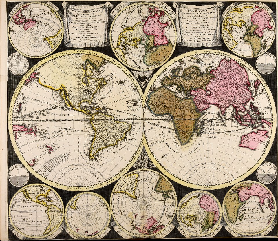
maps by pieter schenk (i)
atlantis magni tomus primus (biblioteca comunale di trento)
18th-century engravings
atlantis magni tomus primus (biblioteca comunale di trento)
18th-century engravings
18th-century maps of schleswig-holstein
maps by pieter schenk (i)
maps made in the 17th century
cornelis danckerts (i)
atlantis magni tomus primus (biblioteca comunale di trento)
18th-century playing cards
maps made in the 18th century
cornelis danckerts (i)
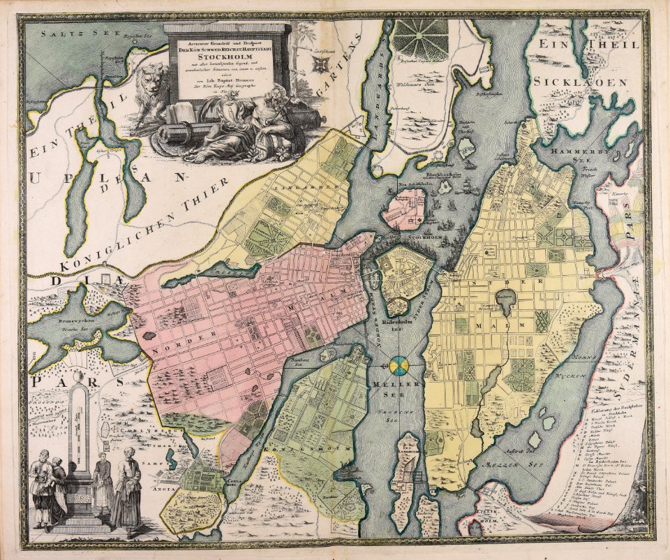
18th-century maps of stockholm
johann baptist homann
johann baptist homann
sistema solar
johann baptist homann
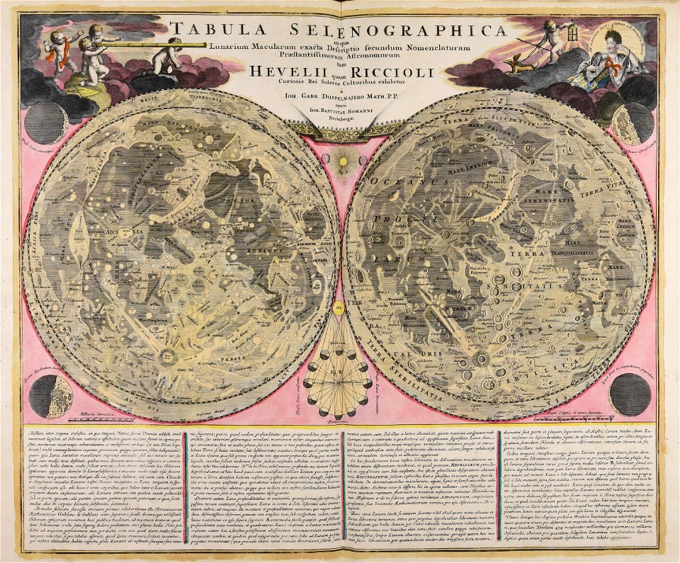
moon
18th-century maps of stockholm
veduta
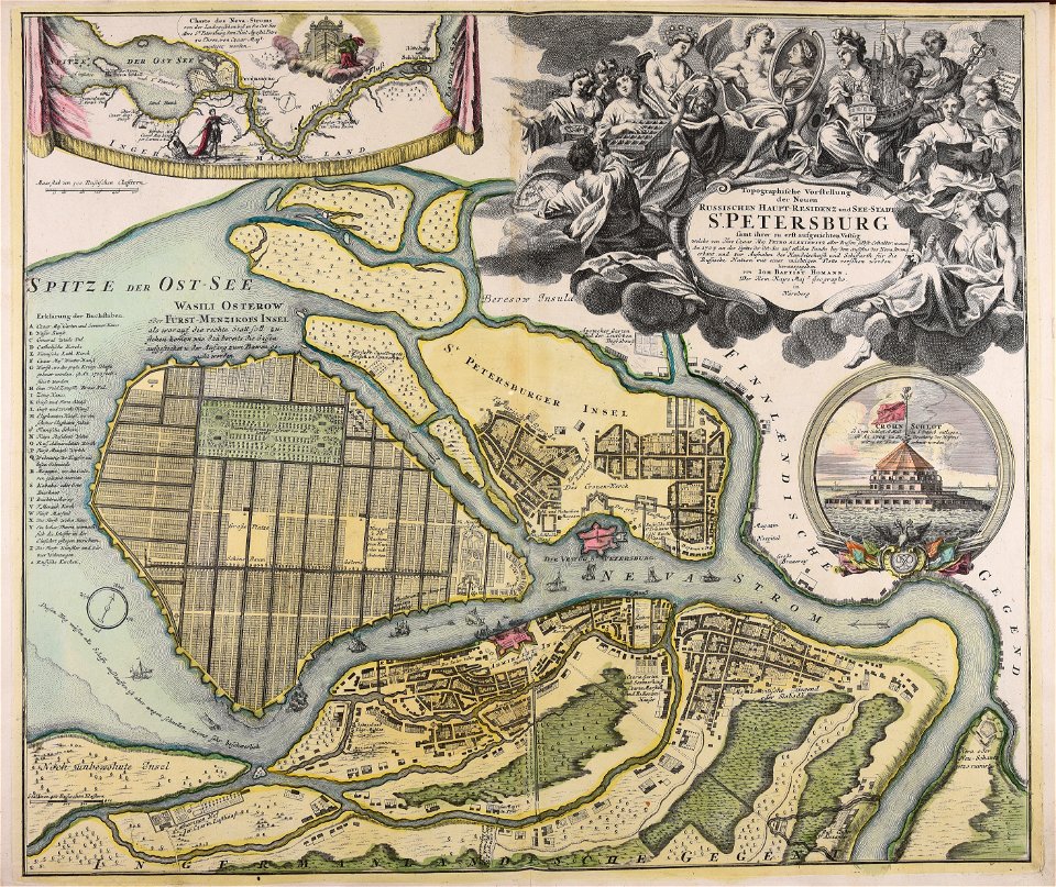
homann map st petersburg ab1720
johann baptist homann
maps made in the 18th century
1705
johann baptist homann
maps
war of the spanish succession
18th-century engravings
maps made in the 18th century
old maps of europe
nicolaes visscher ii
abraham goos
maps made in the 18th century
18th-century engravings
maps made in the 18th century
18th-century engravings
maps made in the 18th century
18th-century engravings
maps made in the 18th century
18th-century engravings
maps made in the 18th century
18th-century engravings
maps made in the 18th century
18th-century engravings
maps made in the 18th century
18th-century engravings
maps made in the 18th century
18th-century engravings
maps made in the 18th century
18th-century engravings
18th-century celestial maps
1708 maps
carte de moscovie by guillaume de l'isle (1706)
1700s maps of russia
18th-century celestial maps
lunar phase diagrams
maps by gerard valck
pieter schenk (i)
1 - 75 of 75
/ 1